This podcast is engaging, highly detailed, and passionate—perfect for weather enthusiasts! Technical meteorology (pressure drops, dew points, synoptic setups) is mixed with practical impacts (blizzard warnings, power outages, flash freeze risk). The global perspective (Australia heat, Dead Sea flooding) adds a nice touch.
The following is ADHD-friendly formatting! The idea is to make text easier to scan by bolding key words and phrases, breaking up long blocks, and using clear structure.
Chapter 1: Midwest Powerhouse Storm Alert
00:00 – Introduction and overview of the powerful winter storm
00:36 – Rapid intensification of the storm and barometric pressure drop
01:20 – Blizzard conditions and snowfall predictions for the Upper Midwest
01:53 – Snow-to-water ratios and impact on snowfall totals
Chapter 2: Regional Forecasts & Extreme Temperature Swings
02:21 – Specific snowfall forecasts for Minnesota and blizzard warning details
02:44 – High winds and power outage risks
03:07 – Storm energy explained by temperature contrast
03:25 – Extreme temperature differences across the storm system
03:52 – St. Louis, Missouri: Dramatic temperature drop and flash freeze potential
04:29 – Flash freeze concerns for the Upper Midwest and Chicago area
Chapter 3: Chicago Area Weather & Upcoming Systems
04:54 – Thunderstorm and severe weather risk for Illinois, including Chicago
05:30 – Hail and brief tornado potential
05:54 – Heavy rain as the main issue for Chicago
06:17 – Snowfall expectations for Chicago
06:30 – Minor clipper system and lake effect snow potential
06:59 – January 5th-6th: Organized system and potential East Coast powerhouse storm
07:32 – Lake effect snow in Chicago: Rarity and historical records
Chapter 4: Long-Term Outlook & Global Weather
07:56 – Bitterly cold air and upcoming arctic air masses
08:35 – Two-week weather patterns: Resemblance to La Niña
08:58 – Confidence in forecasts and areas with drastic temperature drops
09:35 – Australia: Extreme heat and unique "Sheep Grazer Warning"
10:40 – Marble Bar, Australia: Continued high temperatures
11:00 – Flood warnings in the Dead Sea region and Tel Aviv
Chapter 5: Detailed Forecasts & Closing Remarks
11:20 – High dew point air and its impact on storm intensity
11:42 – Severe weather risk and tornado possibility for the Midwest
12:00 – West Rogers Park, Chicago: Detailed forecast for the coming days
13:49 – Lake feeding and East Coast storm setup
14:02 – Sunrise/Sunset and geographical details for Chicago
14:15 – Rain accumulation forecasts for Chicago
14:27 – Thank you, warm weather enjoyment, and return of winter
14:53 – Heavy snow for Wisconsin, Minnesota, and Michigan; Western New York snowstorm
15:24 – Podcast outro and music credits
Become a supporter of this podcast: https://www.spreaker.com/podcast/weather-with-enthusiasm--4911017/support.
Show More
Show Less

 18 mins
 17 mins
 23 mins
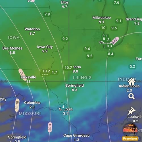 9 mins
 16 mins
 Oct 10 202549 mins